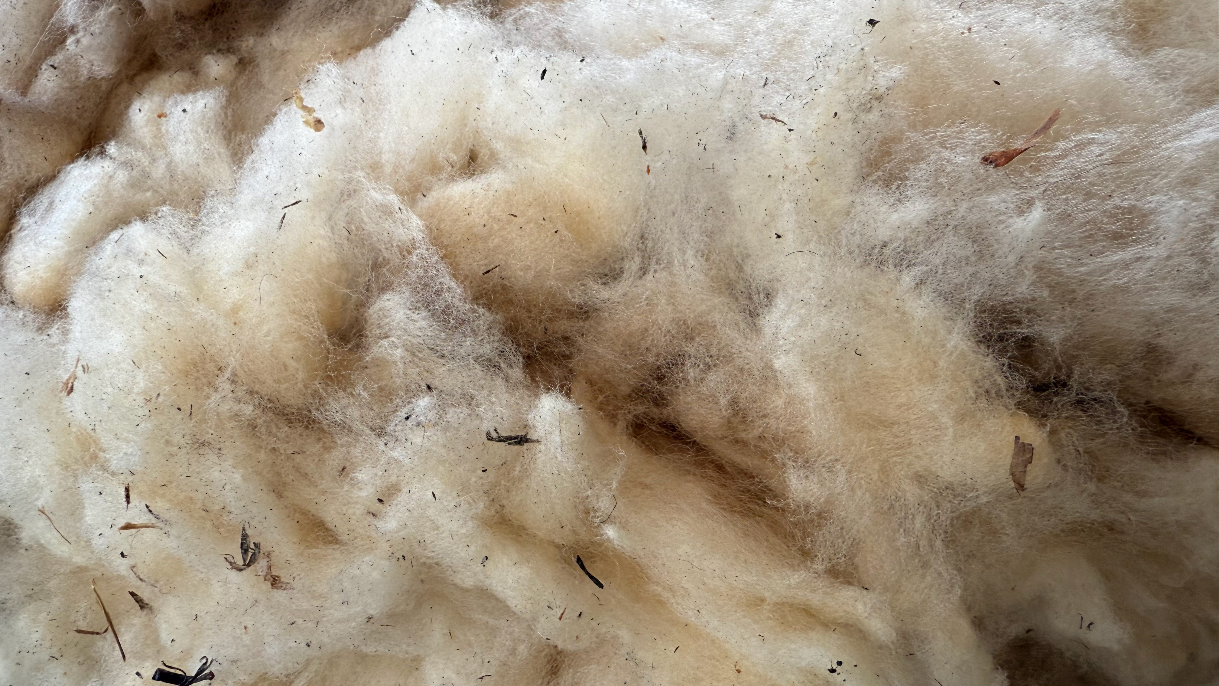
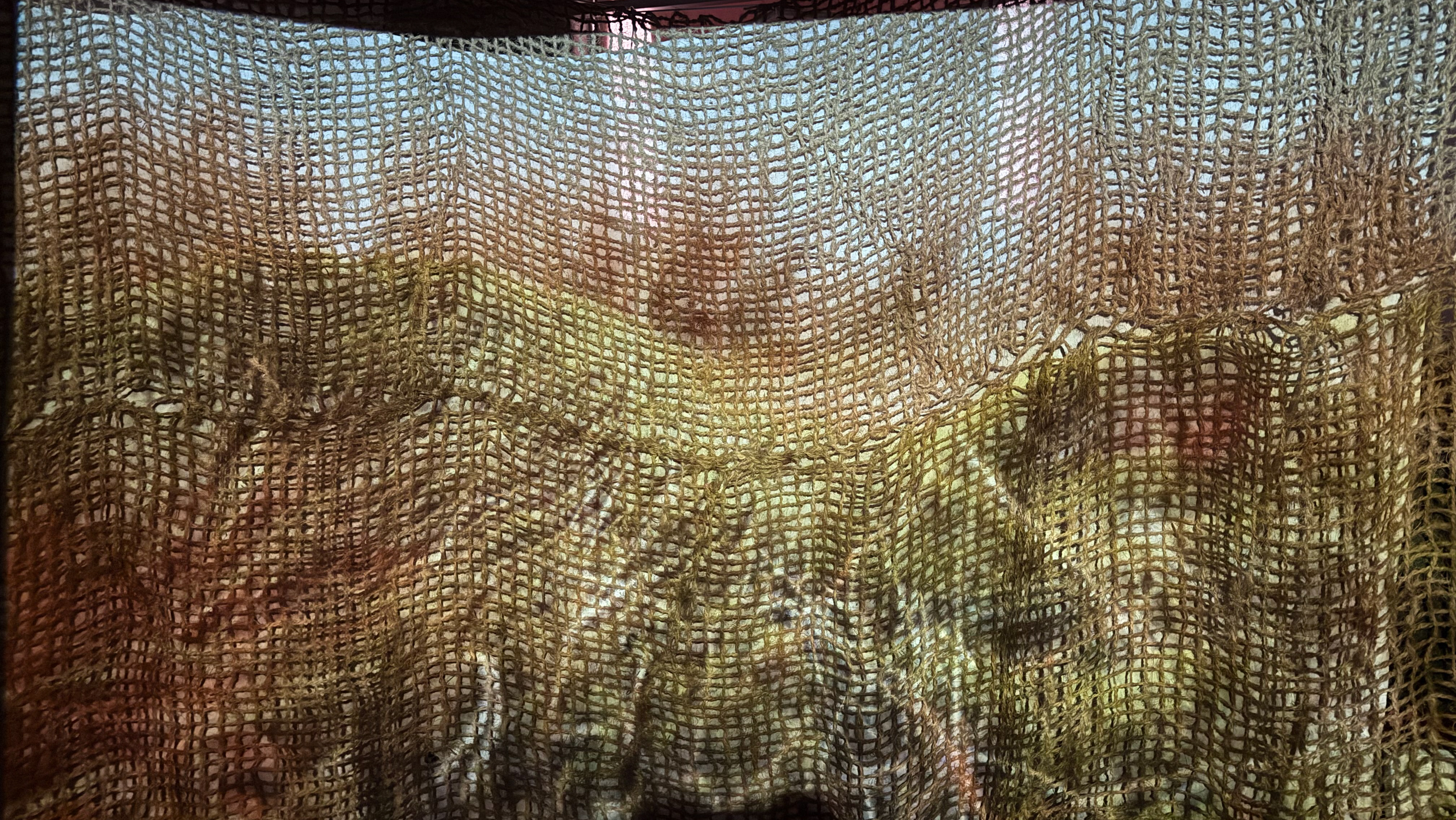
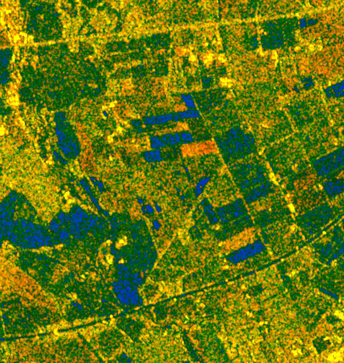
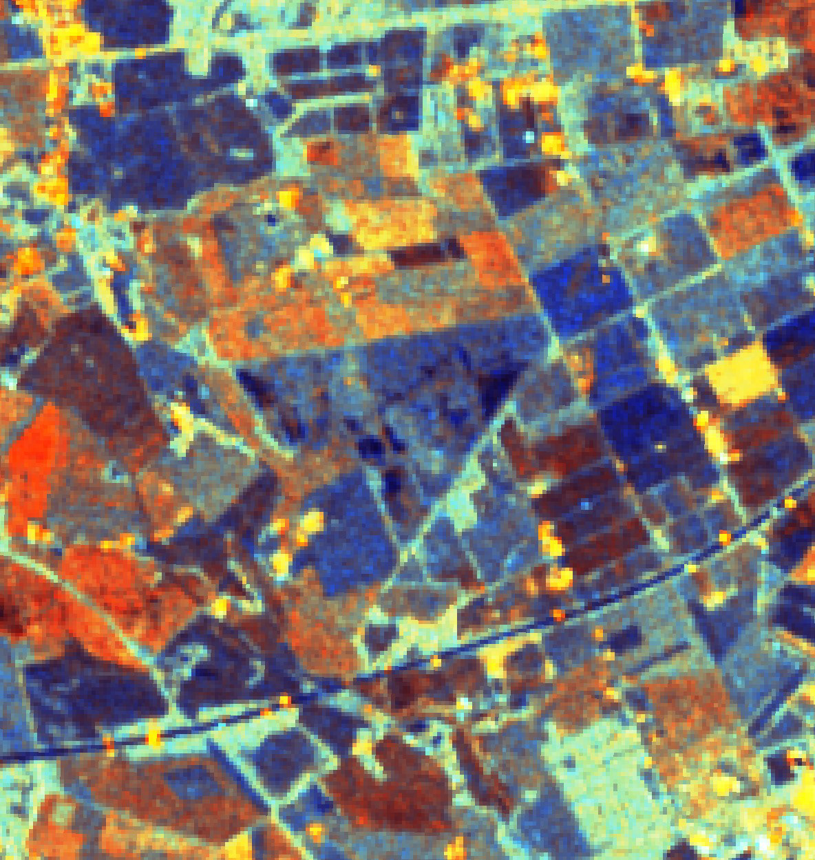
Inspired by the concept of ‘bog breathing’ and Sentinel satellite data, this animation explores peatland hydrology. The sequence draws on above-ground surveys used to monitor peatland health. The work remains experimental, with potential to refine colours and filters to reflect the RGB values from satellite imagery more accurately.
Satellite and LiDAR data are both areas I am keen to explore further, as a means of understanding and interpreting what is happening on the surface of the planet; sometimes, we are too close to see the big picture.
Sentinel Satalite Data
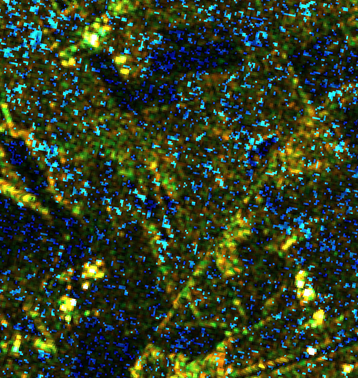
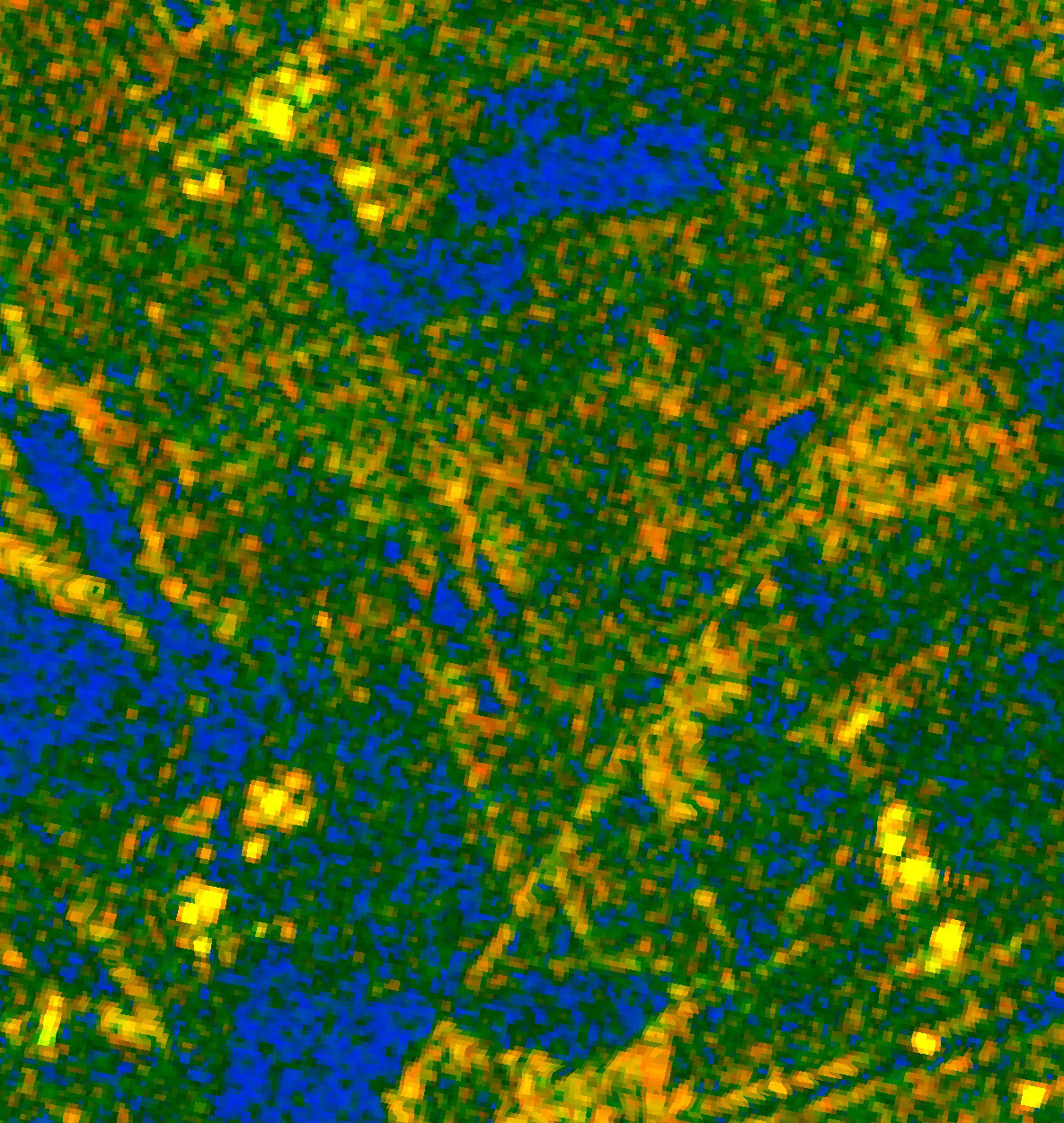
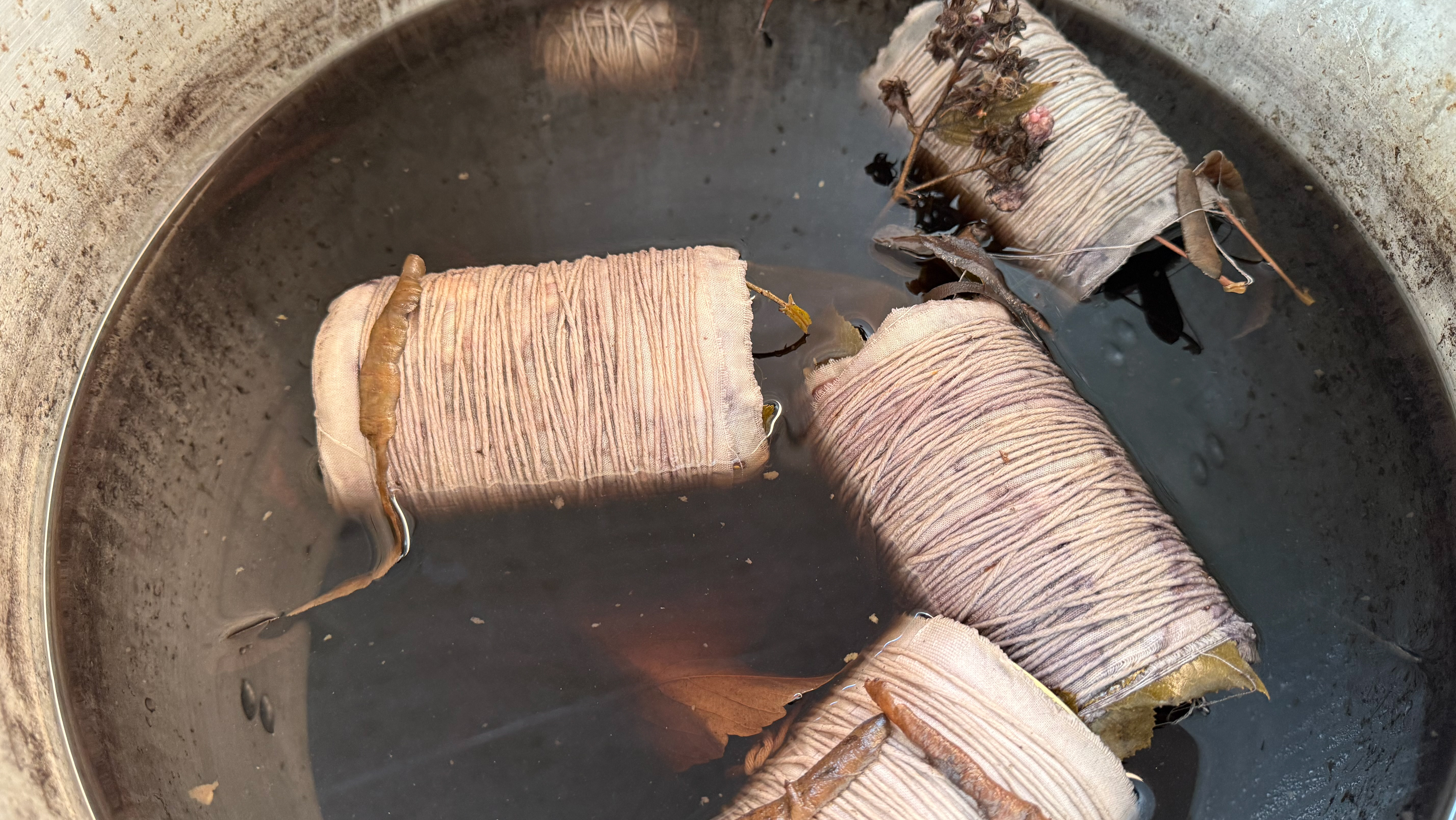
Hydrology Mosaic (2025)
Treescapes
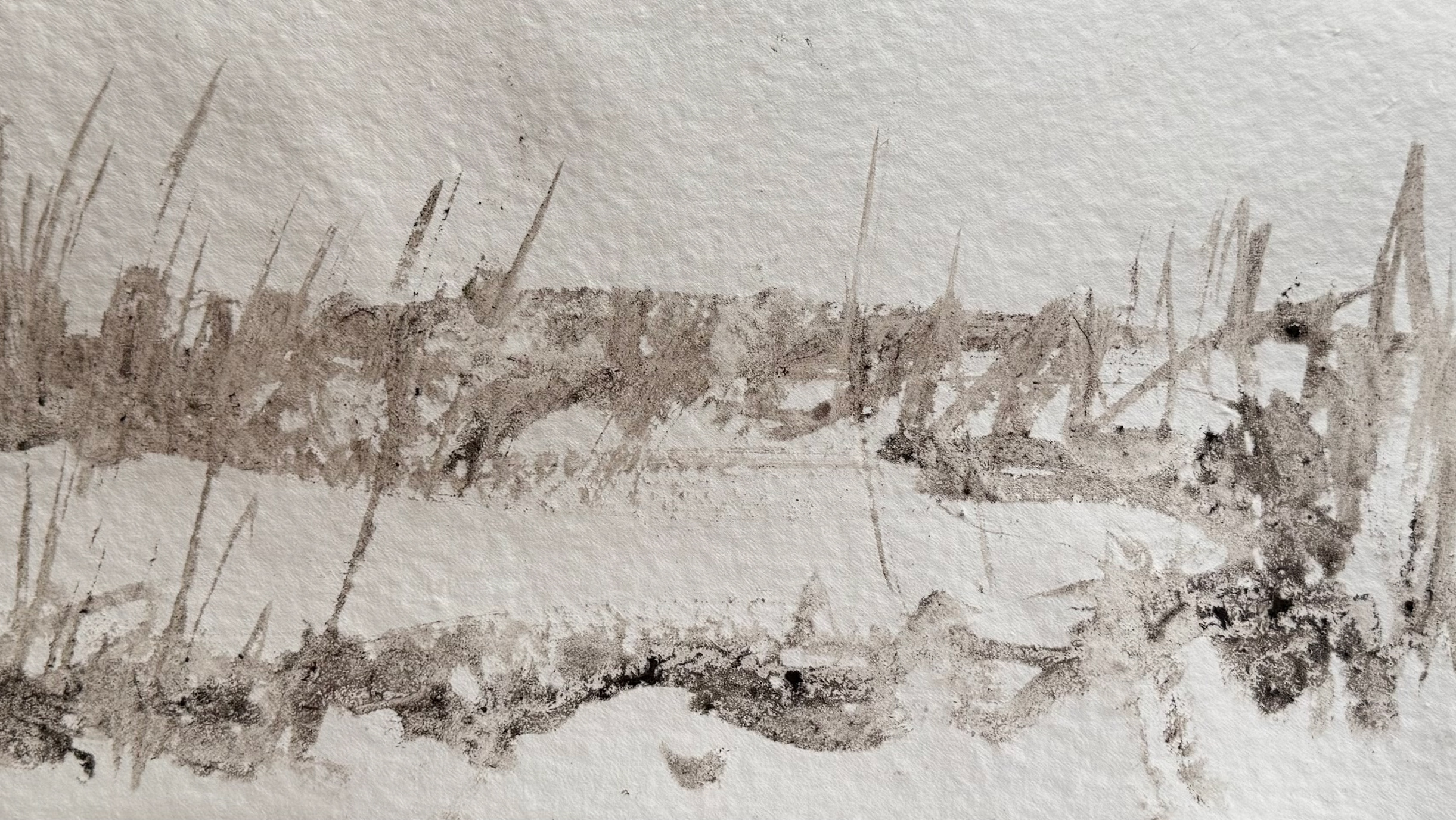
Experimenting with the concept of Umwelt, using LiDAR scans of trees to explore the possibility of viewing the world from another perspective.
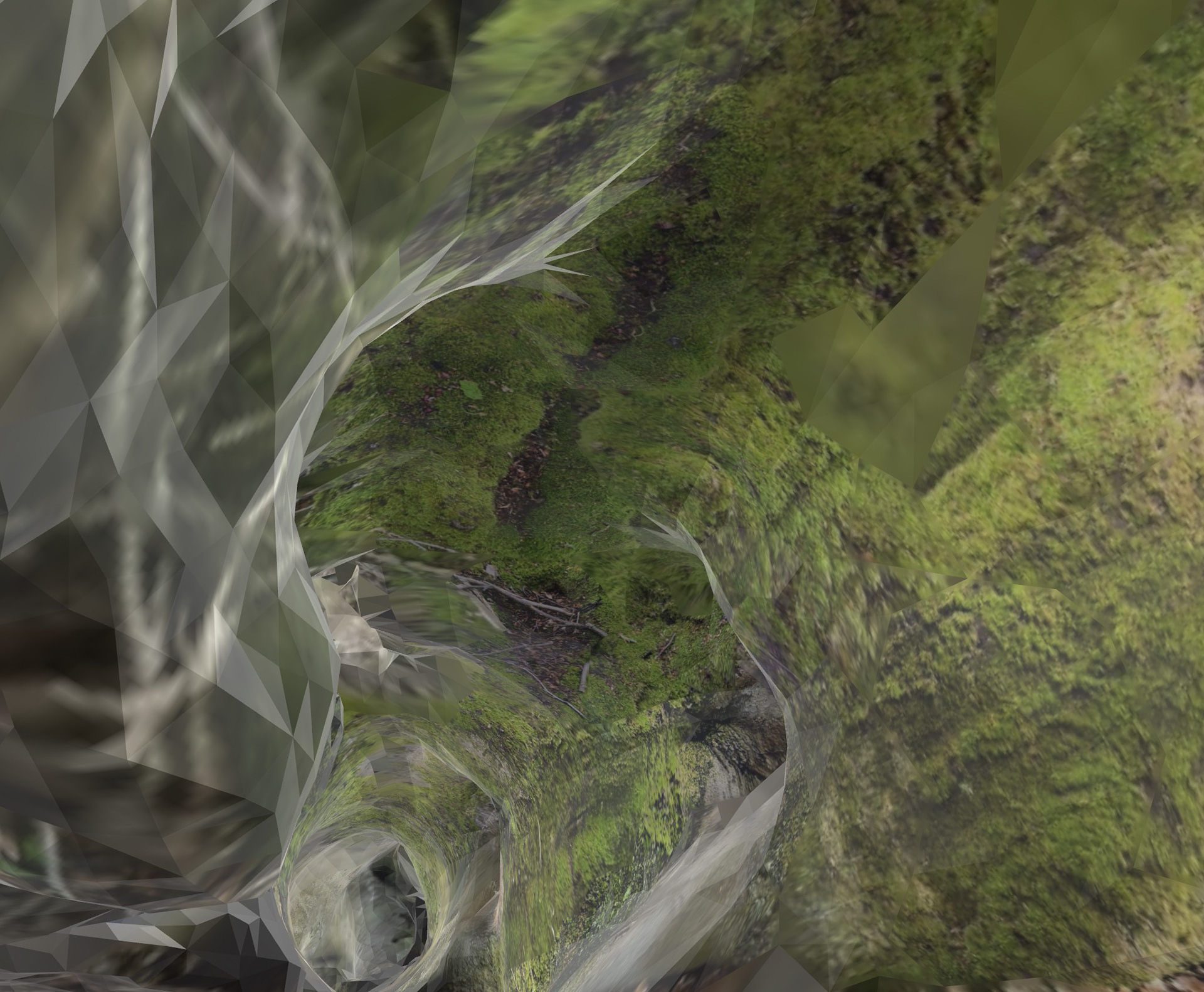
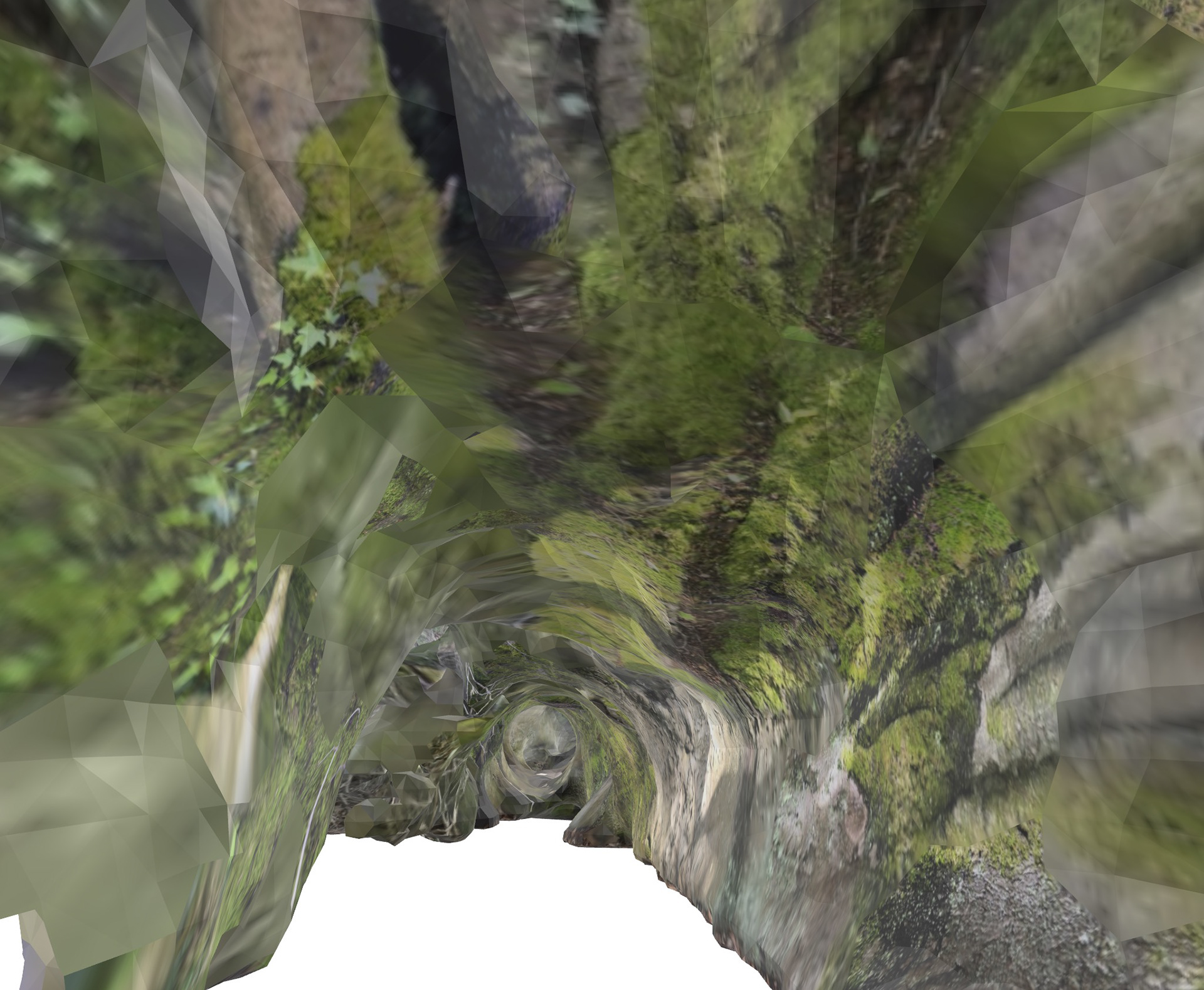
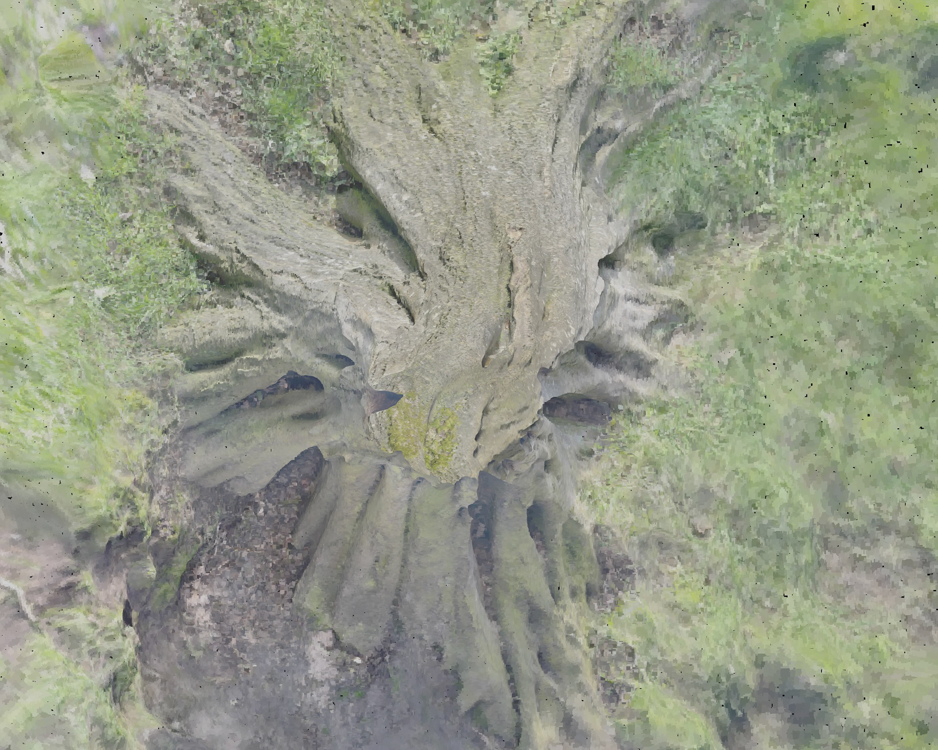

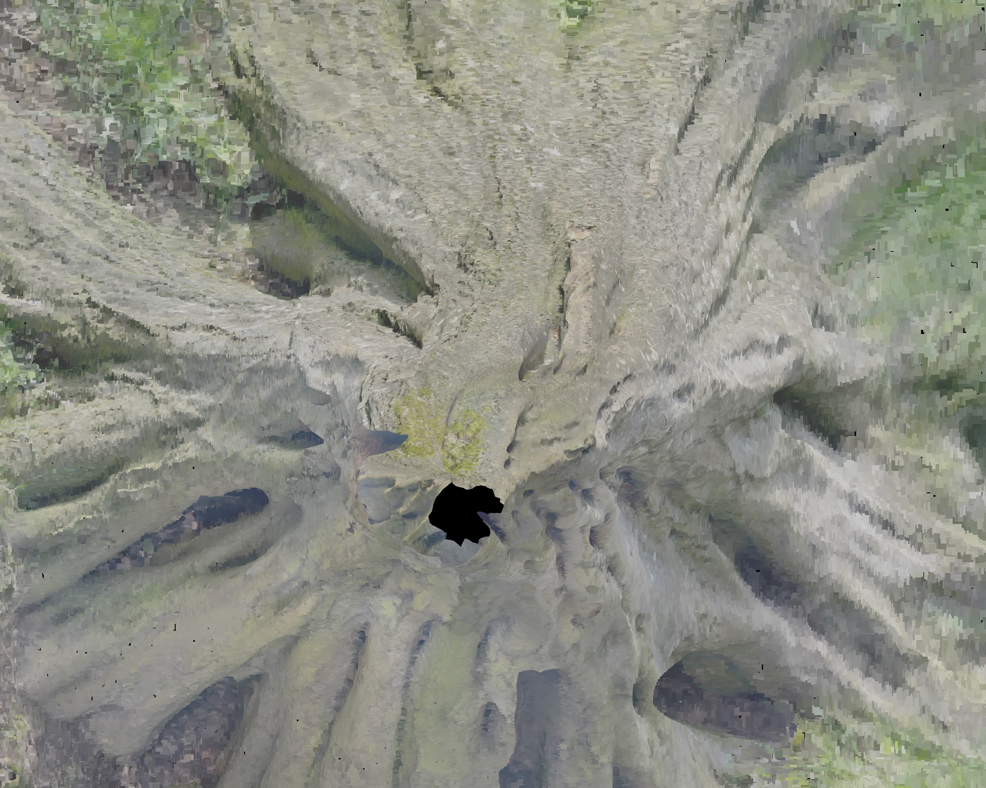
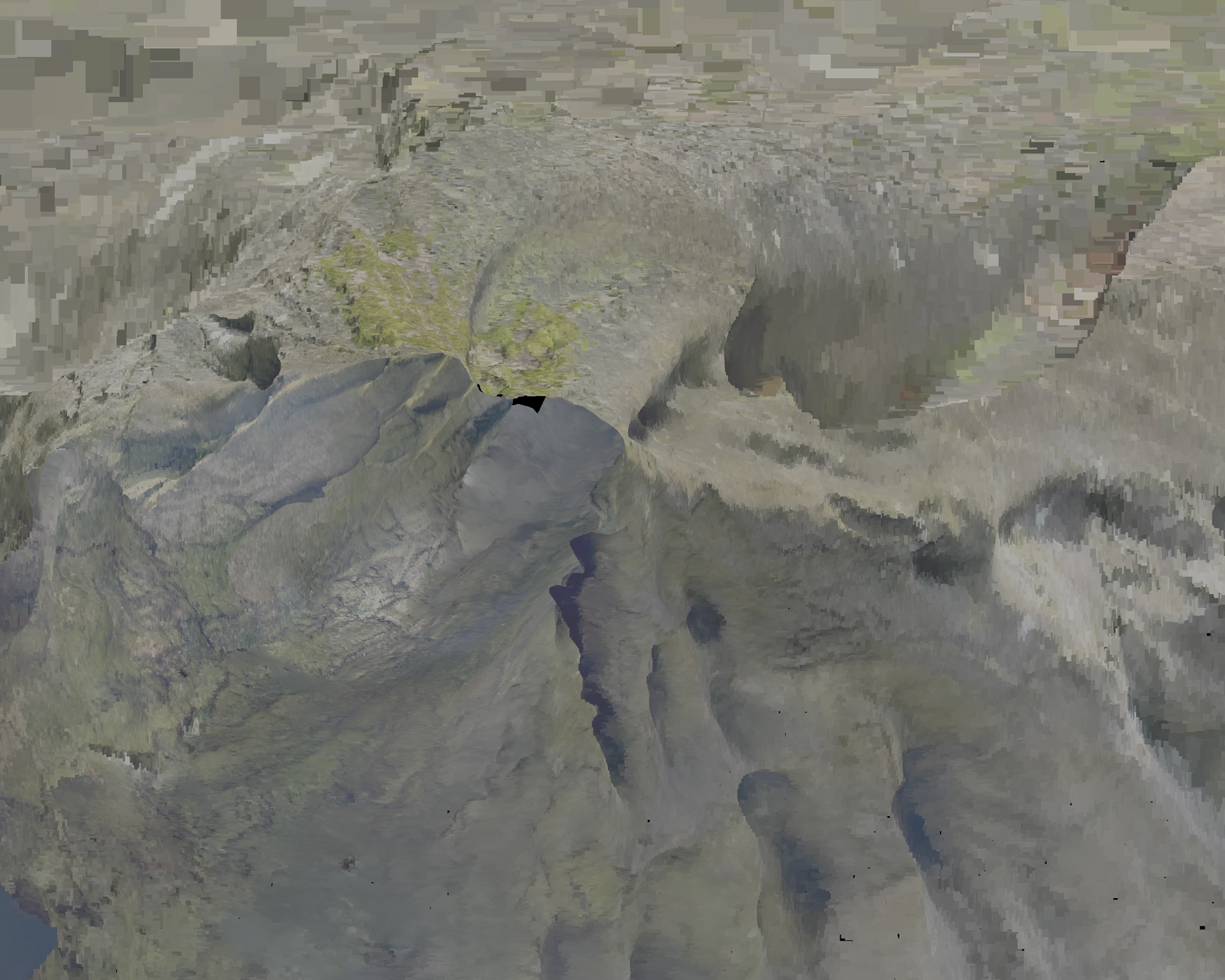
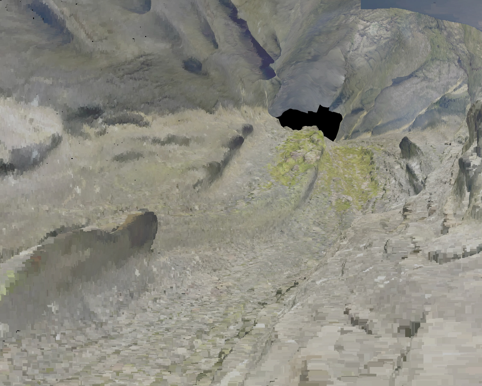
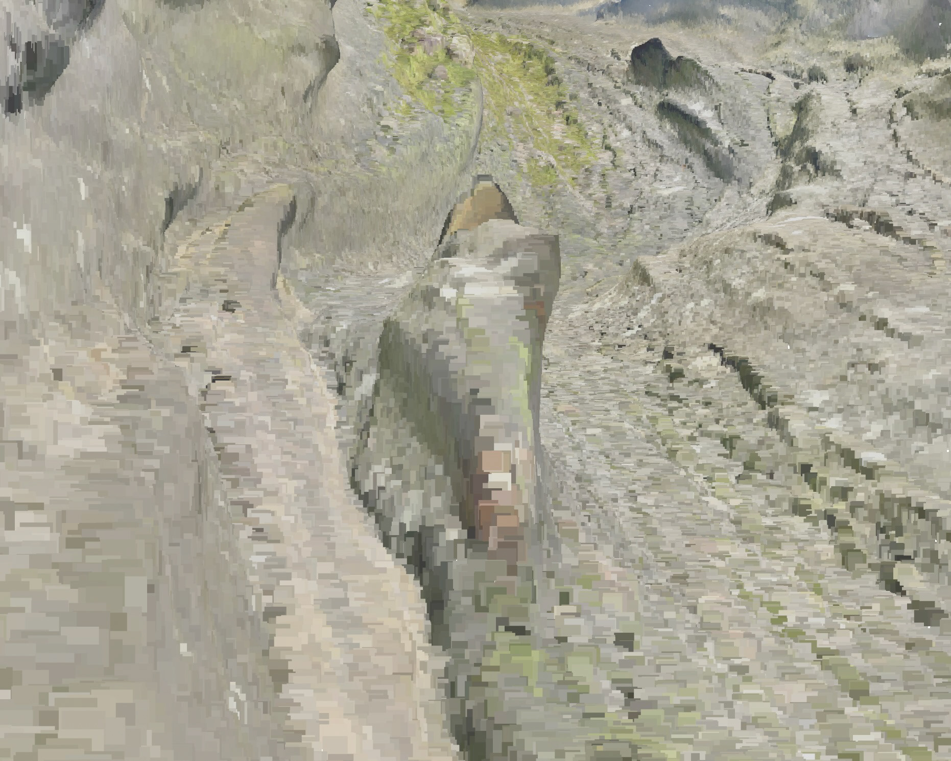
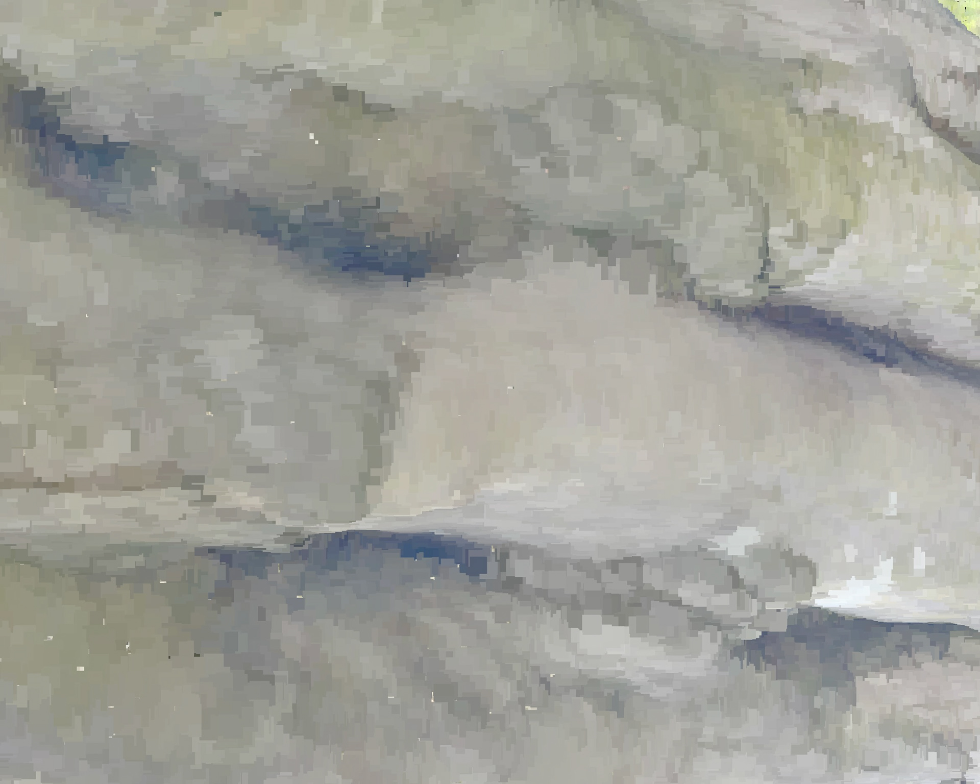
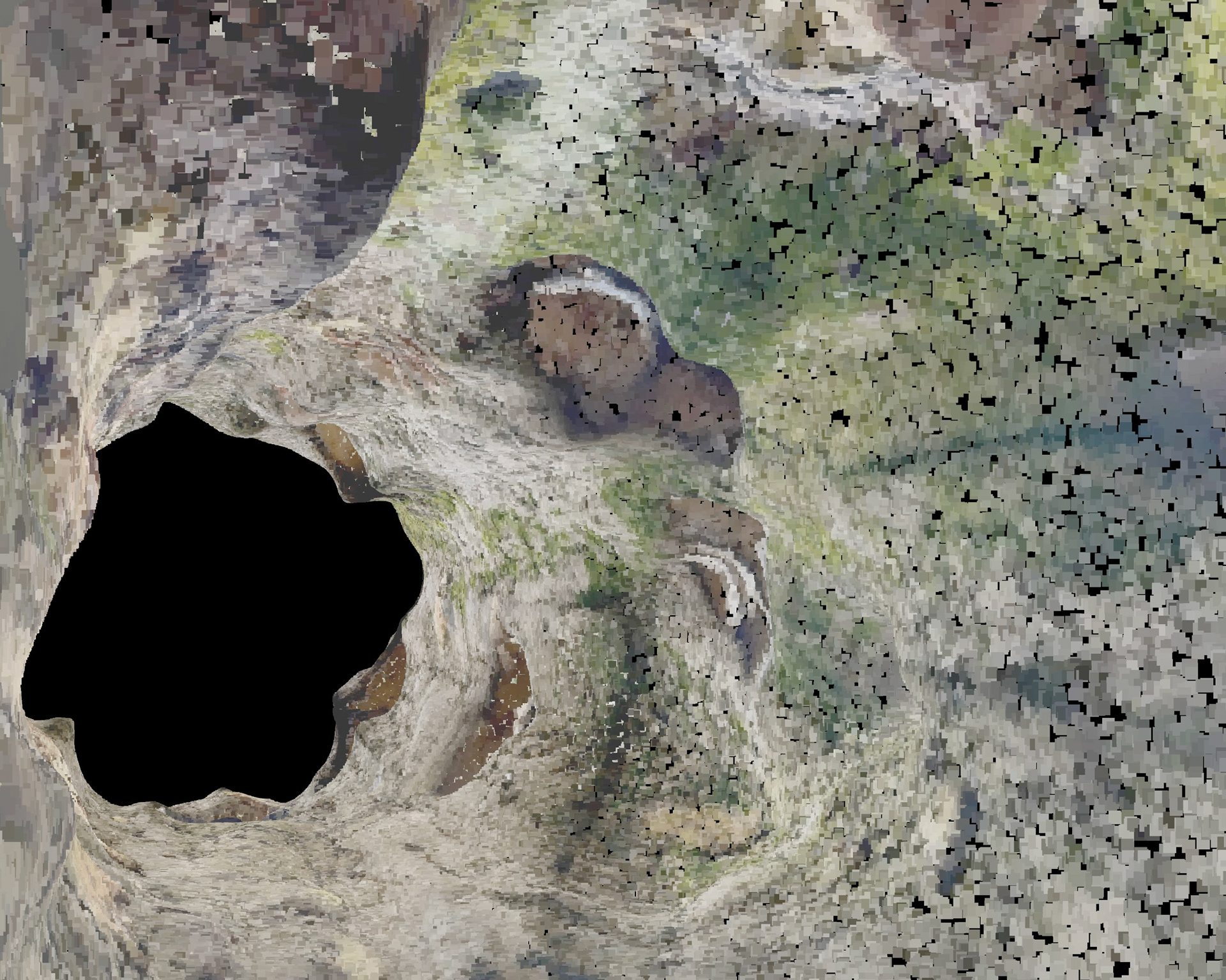
LiDAR provides detailed 3D mapping of the immediate landscape, highlighting patterns in terrain and vegetation that inform both research and immersive artwork.